
Drone Services for Real Estate
Serving Easley and the Upstate South Carolina region, our licensed pilots and cinematographers provide safe, compelling aerial assets that integrate seamlessly with photography and videography packages.
Why aerial imagery matters
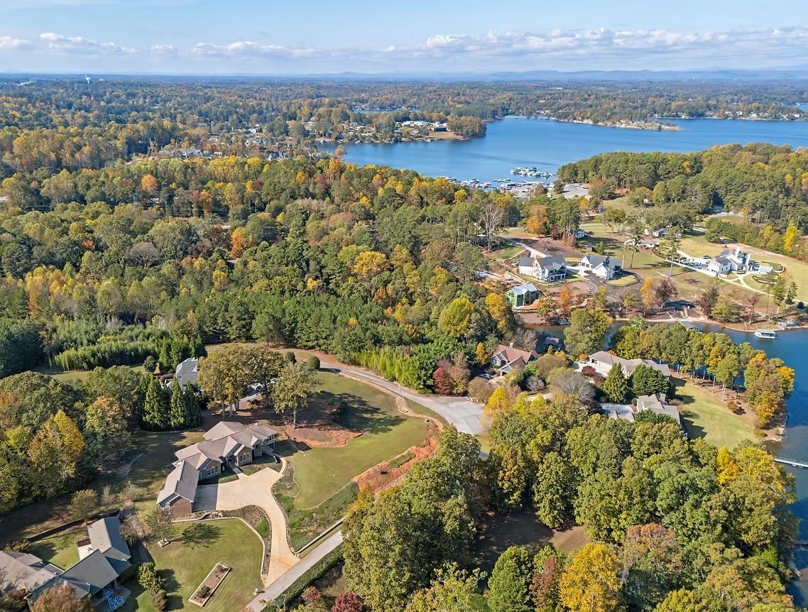
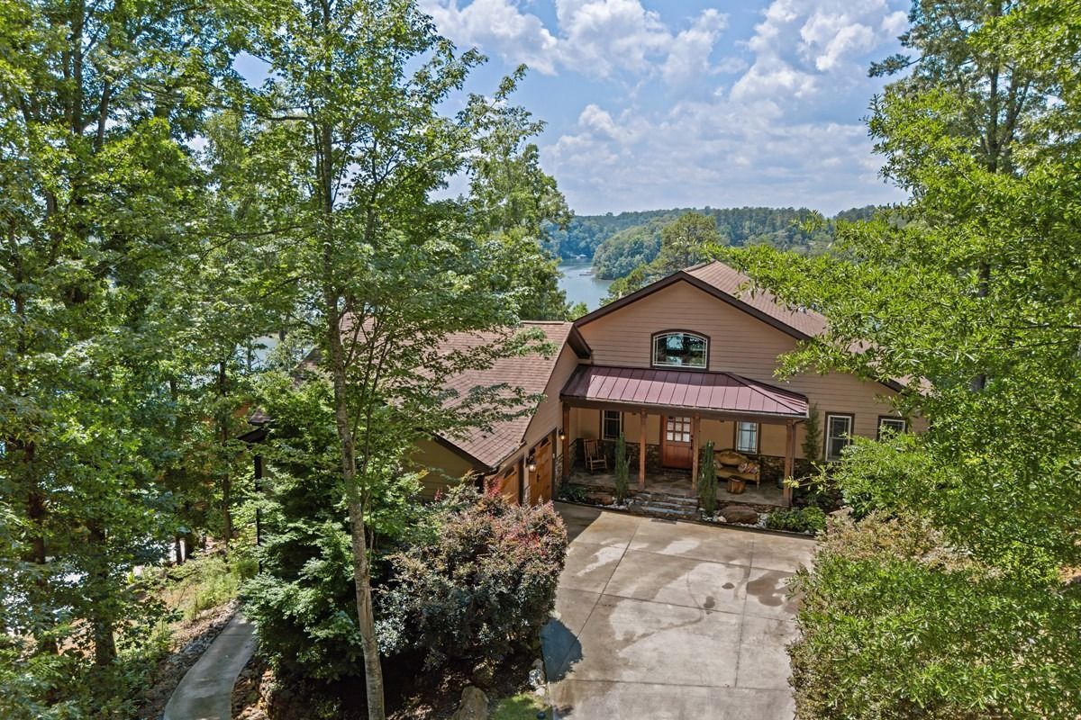
Buyers want to know more than the interior layout—they want context. Drone images reveal:
Lot configuration and usable outdoor space
Proximity to parks, water, or major roadways
Roof condition and external structures like outbuildings or pools
Unique vantage points not visible from ground level
Key benefits of drone photography and video
Differentiated listings: Aerials make listings more comprehensive and attractive on portals.
Context for buyers: Shows acreage, nearby amenities, and property boundaries clearly.
Marketing leverage: Stunning aerial hero shots work particularly well on social and paid campaigns.
Inspection assistance: Aerial images can support condition assessments for roofing and exterior structures.
Safety, compliance, and insurance
Our pilots operate under FAA regulations and maintain required certifications.
We carry drone liability insurance for all flights.
Prior to flights, we assess airspace, nearby obstacles, and privacy considerations.
For flights near restricted airspace or certain community rules, we obtain necessary permissions.
Small repairs: Tighten cabinet handles, hide loose cables, and hide unsightly items.
Typical drone deliverables
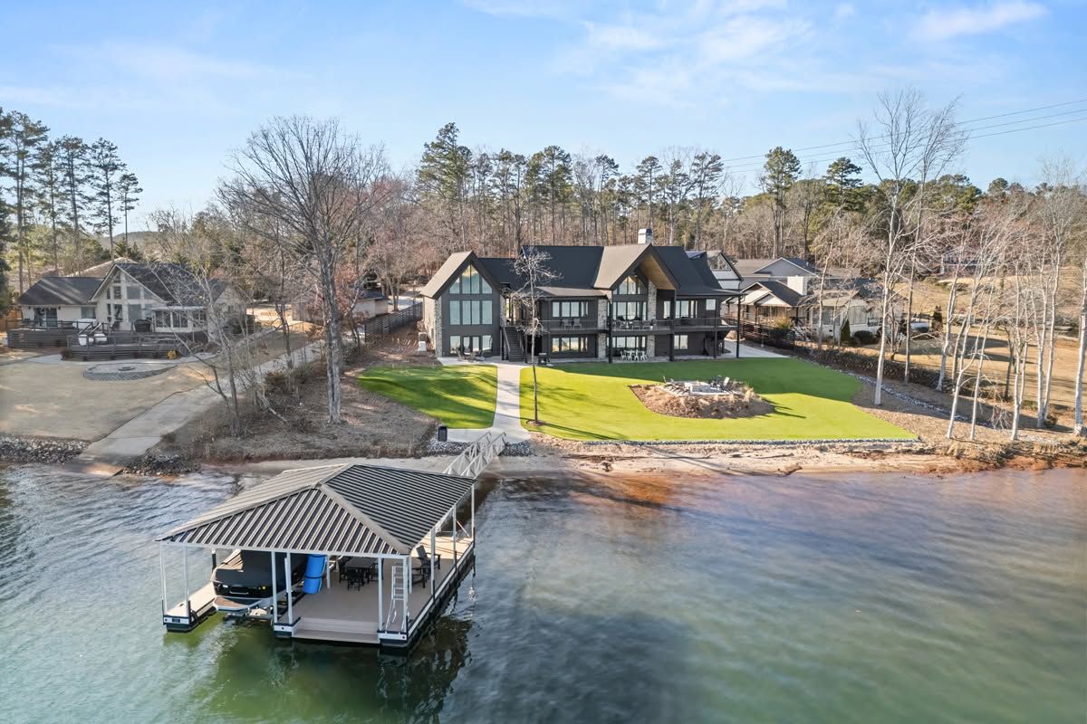
Aerial photos:
High-resolution stills for hero shots and listing galleries.
Aerial videography:
Cinematic drone b-roll for videography openers, property context, and dynamic cutaways.
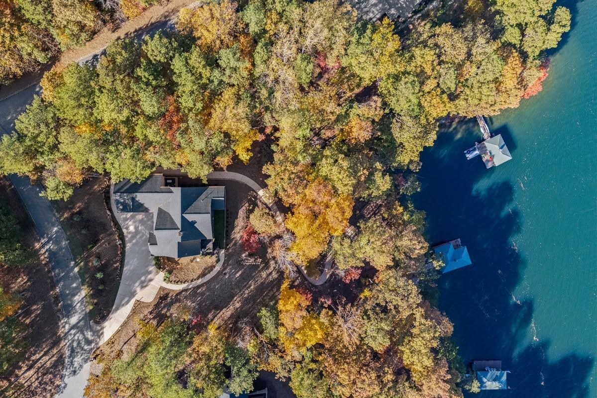
Top-down shots:
Overhead views for showcasing property layout and amenities.
Edge & approach shots:
Approach paths and driveway context to show lead-in perspective.
when aerial imaging is especially valuable
Acreage or rural properties where land size and approach are buying points.
Waterfront properties where proximity to water is a primary feature.
Luxury homes with landscaped grounds, pools, or estate-scale amenities.
New developments where community layout and amenities need visual context.
Properties with strong neighborhood amenities such as parks, golf courses, or lake access.
Operational workflow for drone services
Pre-flight planning
- Confirm property location and intended flight objectives.
- Check FAA airspace status and local ordinances.
- Plan shot list and establish takeoff/landing area.
On-site operations
- Set up a secure launch area and notify occupants.
- Conduct pre-flight checks and safety briefings.
- Capture required aerial photos and cinematic sequences.
Post-production
- Stabilize and color-grade aerial footage.
- Deliver high-resolution images and MP4 clips optimized for web and videography integration.
Limitations and considerations
Weather dependency: Flights require safe wind and visibility conditions; schedule flexibility is recommended.
Privacy and permissions: We respect privacy and avoid capturing neighboring properties unnecessarily; we obtain permissions when required.
Local restrictions: Some areas restrict drone flights; we advise clients when flights are not permitted and recommend alternatives.
Pricing and package integration
Drone add-on: Included as an add-on to photography or videography packages or as a standalone service
Package bundling: Discounted pricing when combined with full photography and videography packages.
Custom estimates: For large acreage, surveying needs, or multi-day shoots, contact us for a detailed quote.
FAQs
Frequently asked questions about drone services
Q: Are drone flights always possible at every property?
A: Not always. Flight permission depends on local airspace restrictions, weather, and proximity to airports or other controlled airspace. We check flight feasibility during booking.
Q: How long does drone capture take?
A: Typically 10–30 minutes on-site for a standard aerial shoot.
Q: Are drone shots included in standard turnaround times?
A: Yes. Aerial images and drone footage are integrated into standard delivery windows (next day depending on package).
Q: What safety measures do you take?
A: We conduct pre-flight checklists, maintain safe distances from people and structures, and carry necessary insurance. We follow FAA guidelines and local ordinances.
Q: Can drone footage be used for inspection purposes (e.g., roof condition)?
A: Yes. High-resolution aerial stills can document roof conditions and external structures; however, this is not a replacement for a professional roof or structural inspection if detailed assessment is required.
Contact RE Imaging SC
Phone: (864) 209-1093
Email: info@reimagingsc.com
Location: Easley, South Carolina 29640
Office hours: Monday–Friday, 8:00 AM–6:00 PM
How to book aerial services
To schedule a drone shoot or add aerials to your listing package:
Note: Provide property address and mention drone services when booking so we can pre-check airspace and permissions.