
Aerials That Show the Land Around the House
Drone photography and video in Easley for properties where lot layout, acreage and setting shape the listing
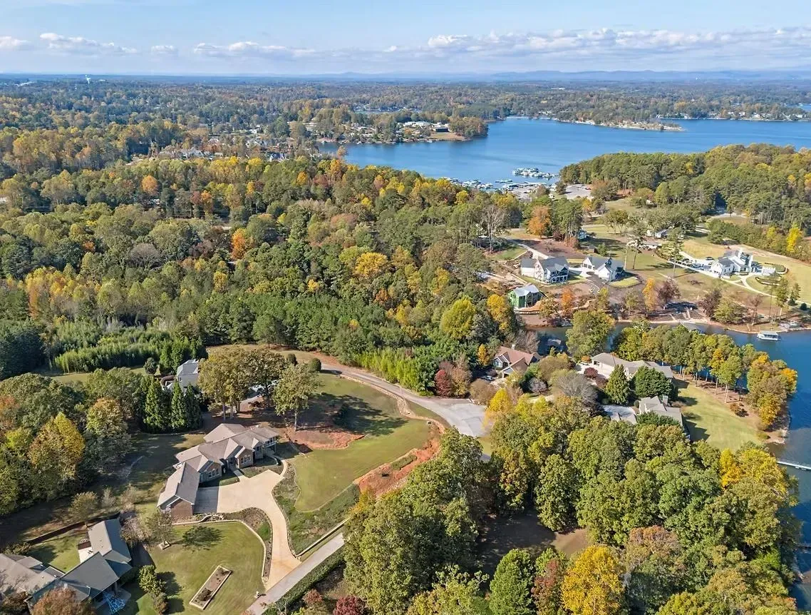
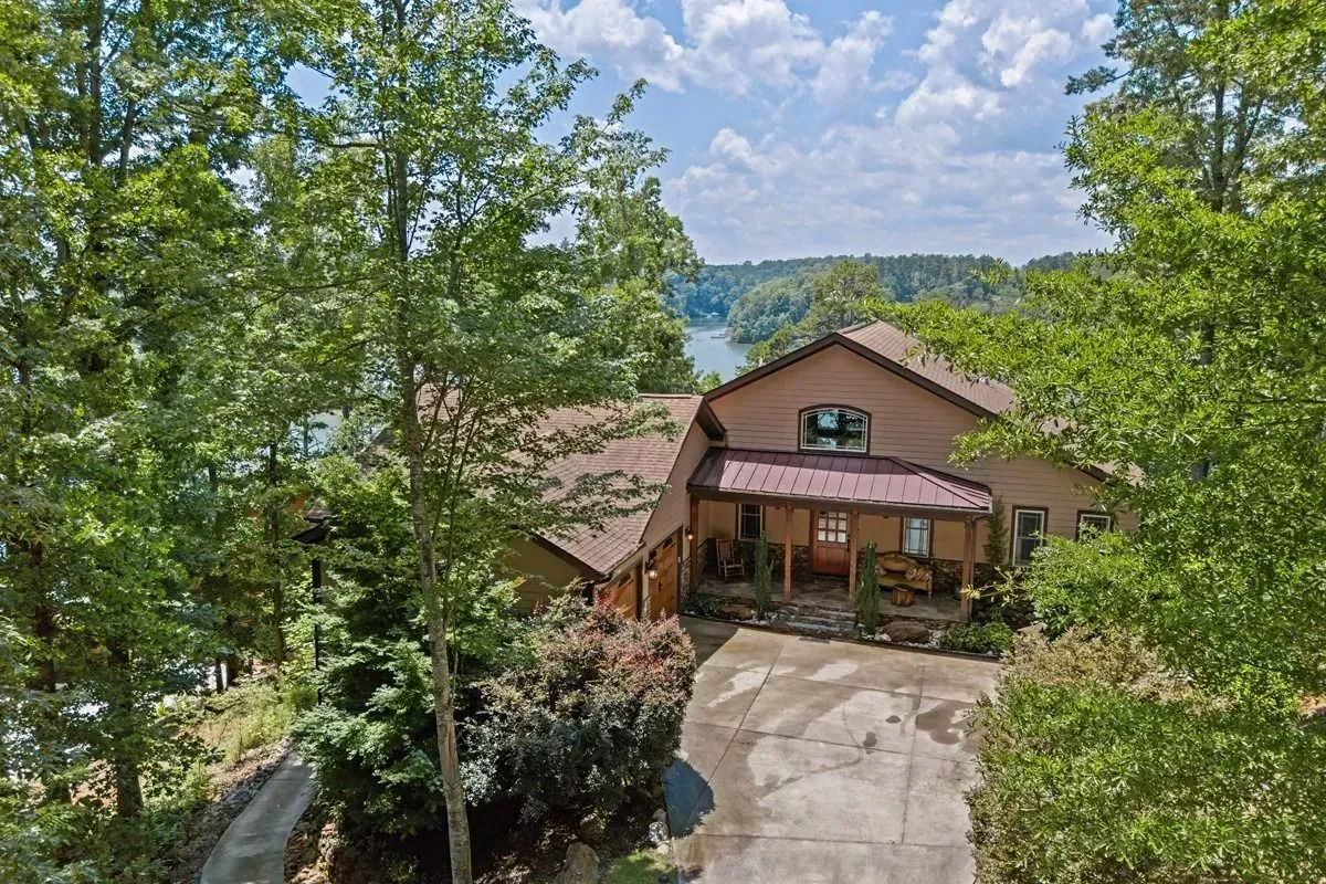
Lake Keowee homes, rural acreage with long driveways and large lots, and newer subdivisions across the Easley area were built to take advantage of land that the front door photo can't show. RE Imaging SC captures FAA-compliant aerial photos and video that position the property in its setting, reveal boundaries and topography, and document the view from above in one coordinated booking with interior media. The aerials arrive edited to match the MLS listing package and ready to upload.
Aerial work is booked with the rest of the listing shoot so the drone pilot and photographer visit the property once. Flights are planned around the property's position, nearby structures and airspace before the crew arrives, and the aerials are edited to match the interior photos for MLS use. This approach eliminates scheduling separate vendors and ensures color, exposure and resolution stay consistent across every image in the listing.
Schedule a property evaluation to confirm the aerial scope and coordinate timing with your listing shoot.
What Drone Work Reveals for Waterfront and Rural Properties
The pilot assesses the property's position relative to controlled airspace, tree lines, power lines and adjacent structures before the flight, then captures overhead views that establish how the house sits on the lot, where outbuildings and access roads run, and what the shoreline or pasture looks like from above. This planning keeps the flight safe and legal while ensuring the footage covers what a buyer scanning MLS listings actually wants to see.
After the service completes, you receive aerial stills that can be mixed into the gallery and a video file that walks through the property from the air. Buyers scrolling listings see the driveway approach, the clearing around the house, and whether the lot backs to open land or neighboring structures. The aerial context changes how they judge square footage and list price.
The package includes both photo and video from the same flight, delivered through the same online gallery as the rest of the listing media. RE Imaging SC handles the upload, hosting and file management so the agent has one link for the entire property.
Answers About How the Work Is Done
Aerial work raises questions about legality, timing and what the footage actually shows. These answers address how the service works and what to expect on site.
What does FAA compliance mean for the drone flight over your property?
The pilot holds the required FAA certification and files the flight plan according to airspace rules, which vary depending on proximity to airports and controlled zones in the Easley and Powdersville areas. That certification ensures the operation is legal and insured.
How is the aerial shoot coordinated with the interior photography?
The drone pilot and photographer schedule the same visit so both sets of media are captured in one trip. The pilot arrives, assesses conditions, and flies while the photographer finishes interior setup, then both teams leave once the property is documented.
What decides whether a property needs aerial video or stills alone?
Video makes sense when the approach, the shape of the land, or the relationship between structures matters more than a single overhead shot can convey. Stills work when the goal is simply to show lot boundaries and position within a subdivision or street.
How are the aerial images edited to match the rest of the listing?
Color correction, exposure balancing and resolution adjustments are applied to the aerial shots using the same standards as the interior photos so the listing gallery looks cohesive when a buyer scrolls through it on MLS or a brokerage website.
What can you see in an aerial that you cannot capture from the ground?
The full shape and size of the lot, the position of the house within that lot, access points and driveways, adjacent land use, and views that establish context for a buyer unfamiliar with the area.
RE Imaging SC books aerials as part of the listing package so the shoot happens once and the media arrives together. The crew handles flight planning, FAA compliance and delivery through the same system that manages interior photos and tours. RE Imaging SC also supplies drone photography and video in Greenville, Spartanburg, Anderson, Greenwood and Pickens. Contact the studio to coordinate your next aerial shoot with the listing timeline.